MapToLaser Express Beta open
Some places
deserve to
be made.
Turn a favorite coastline, lake or hometown into a laser-cut map. Real geography. Your design. Files ready for your next project.
3 free exports with a registered account. No payment required.

Made with MapToLaser
Places with a story.
Maps with character.
Six favorite designs, from Seattle’s lakes to Brooklyn’s streets. Explore the map detail and picture a finish of your own.
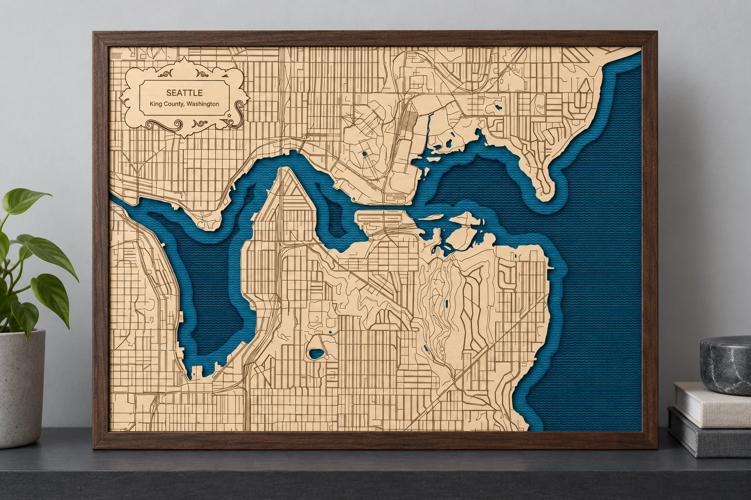
Layered water + engraved streets
Seattle / Lake Union
Lake Union, the Montlake Cut, and a city full of fine detail. A four-piece design with textured water and a personal title.
Simulated finish · 356 × 279 mm design

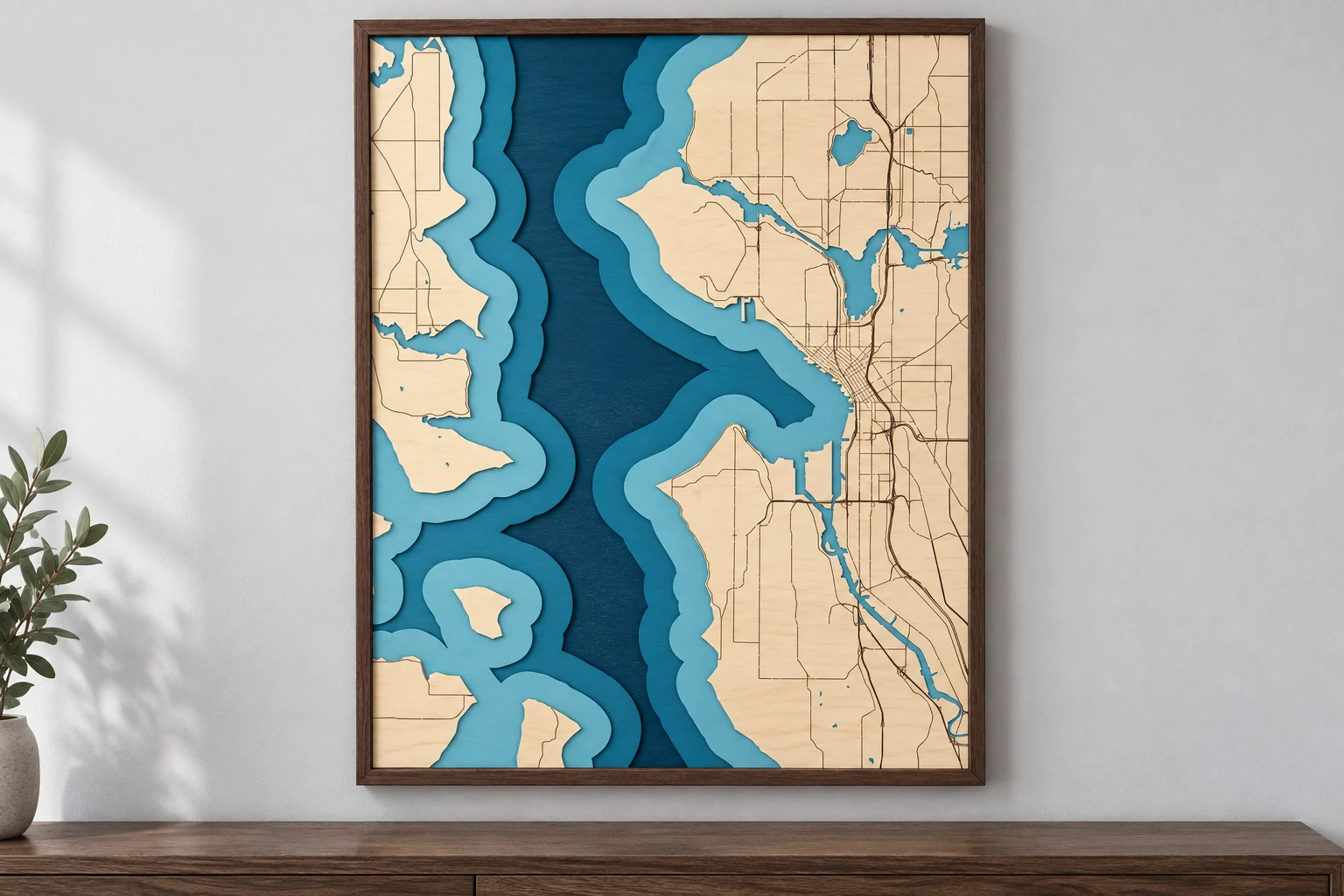
Layered coastline
Puget Sound / Seattle
Island shorelines. City detail. Pacific Northwest character.
Simulated finish · 279.4 × 355.6 mm design
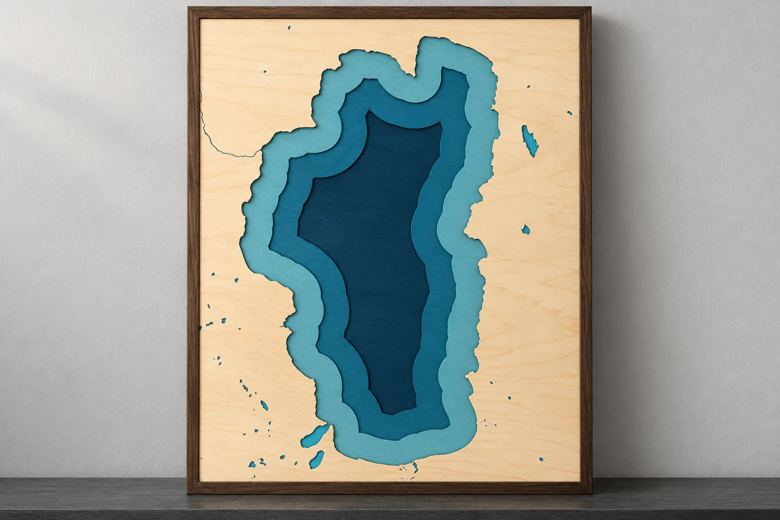
Layered lake
Lake Tahoe
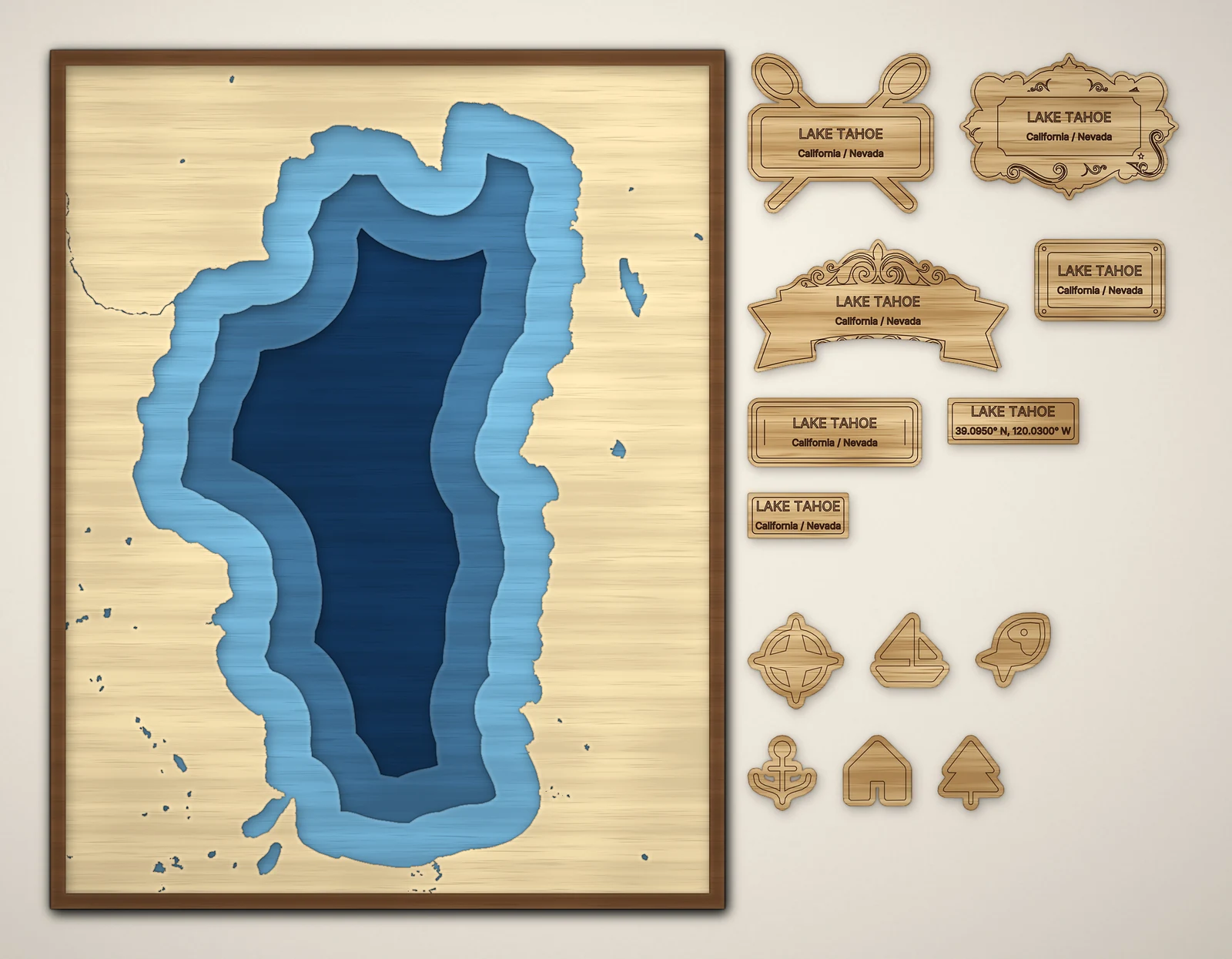
An unmistakable alpine outline, blue shoreline layers, and optional finishing accents.
Simulated finish · 279.4 × 355.6 mm design

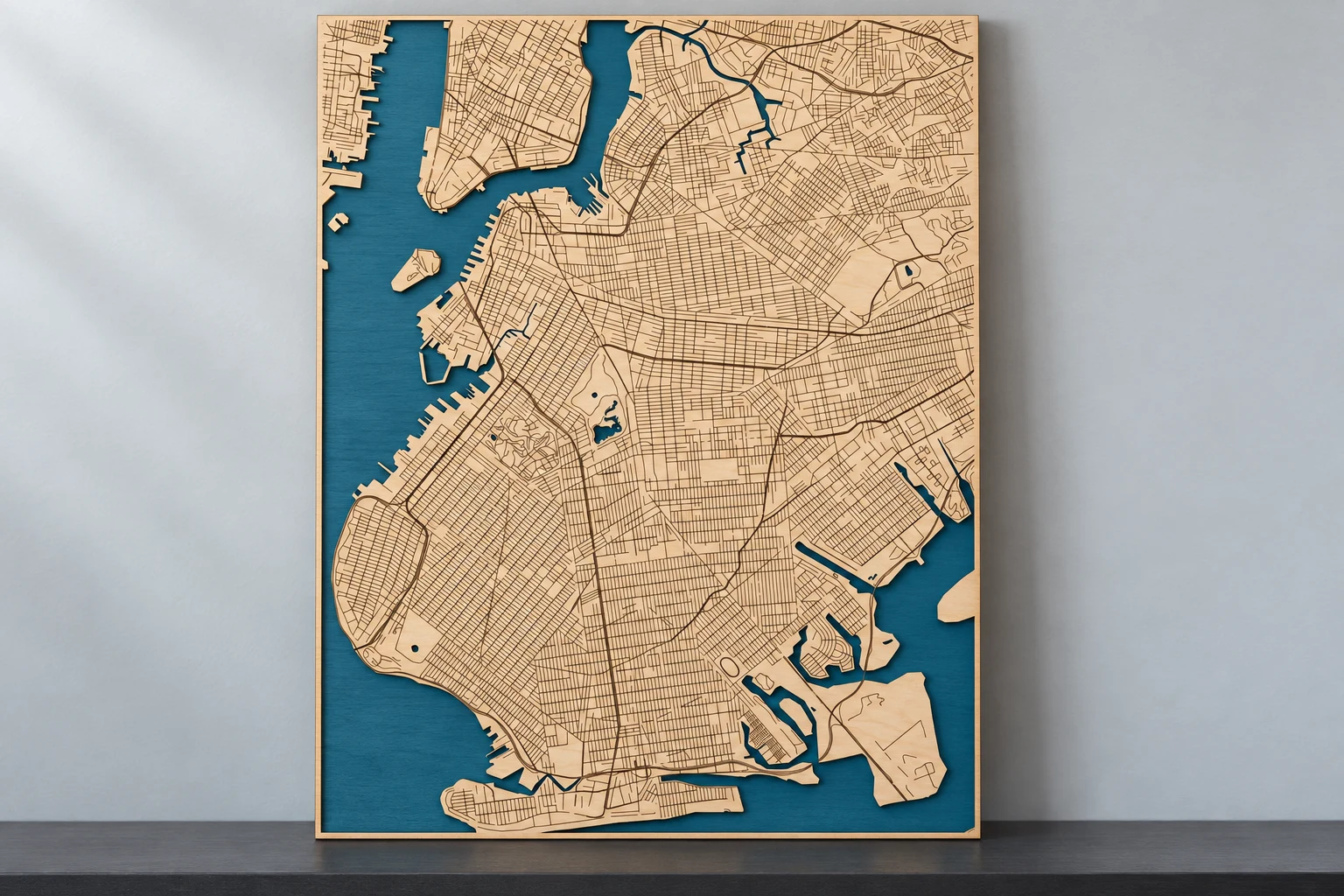
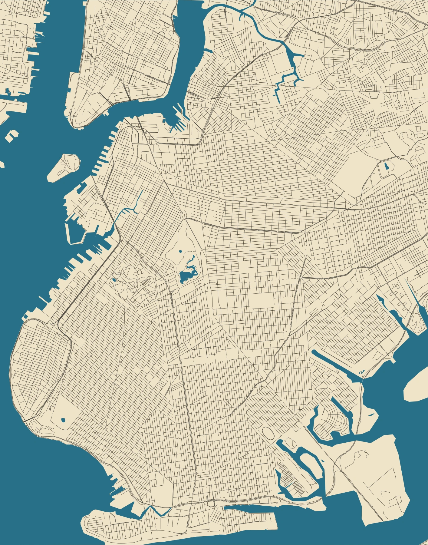
Engraved street map
Brooklyn
A dense neighborhood grid, Prospect Park, and the waterfront in a clean two-layer map.
Simulated finish · 279.4 × 355.6 mm design
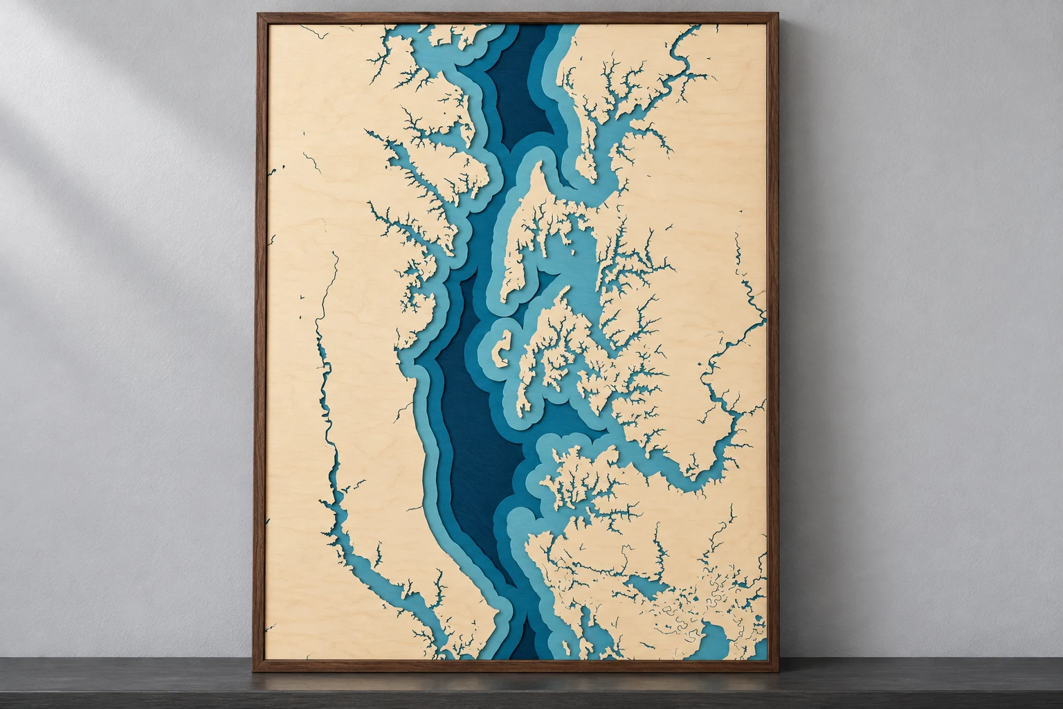
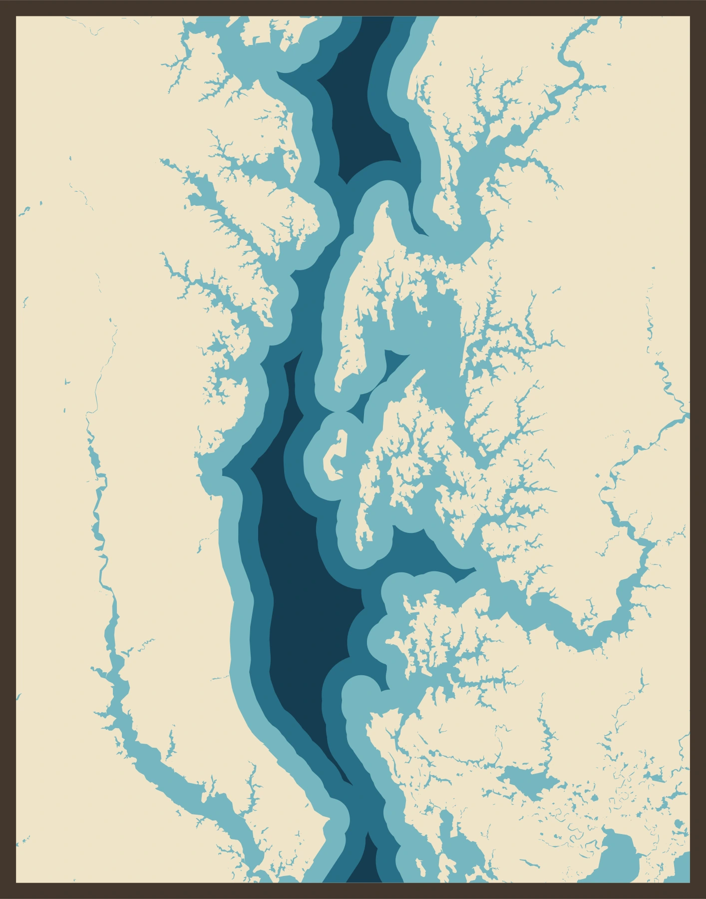
Layered coastline
Chesapeake Bay
Branching creeks, broad water, and intricate Maryland shorelines in decorative relief.
Simulated finish · 279.4 × 355.6 mm design
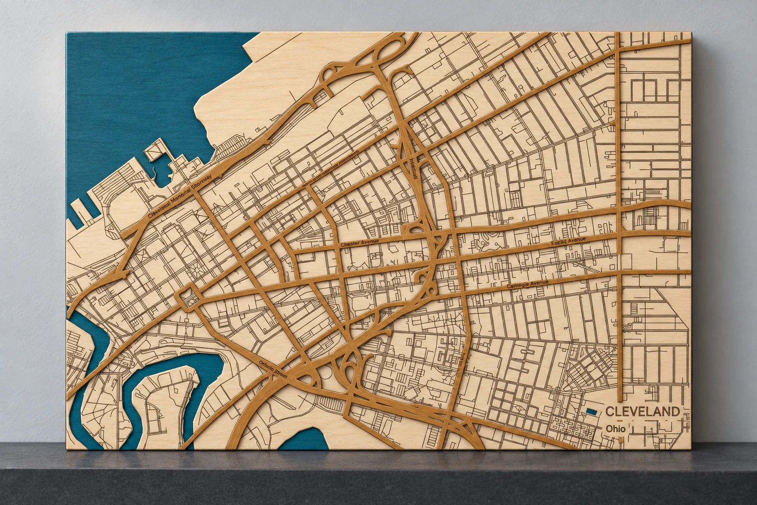
Layered streets
Cleveland
Lake Erie, the river, and a city’s streets in relief.
Simulated finish · 300 × 200 mm design
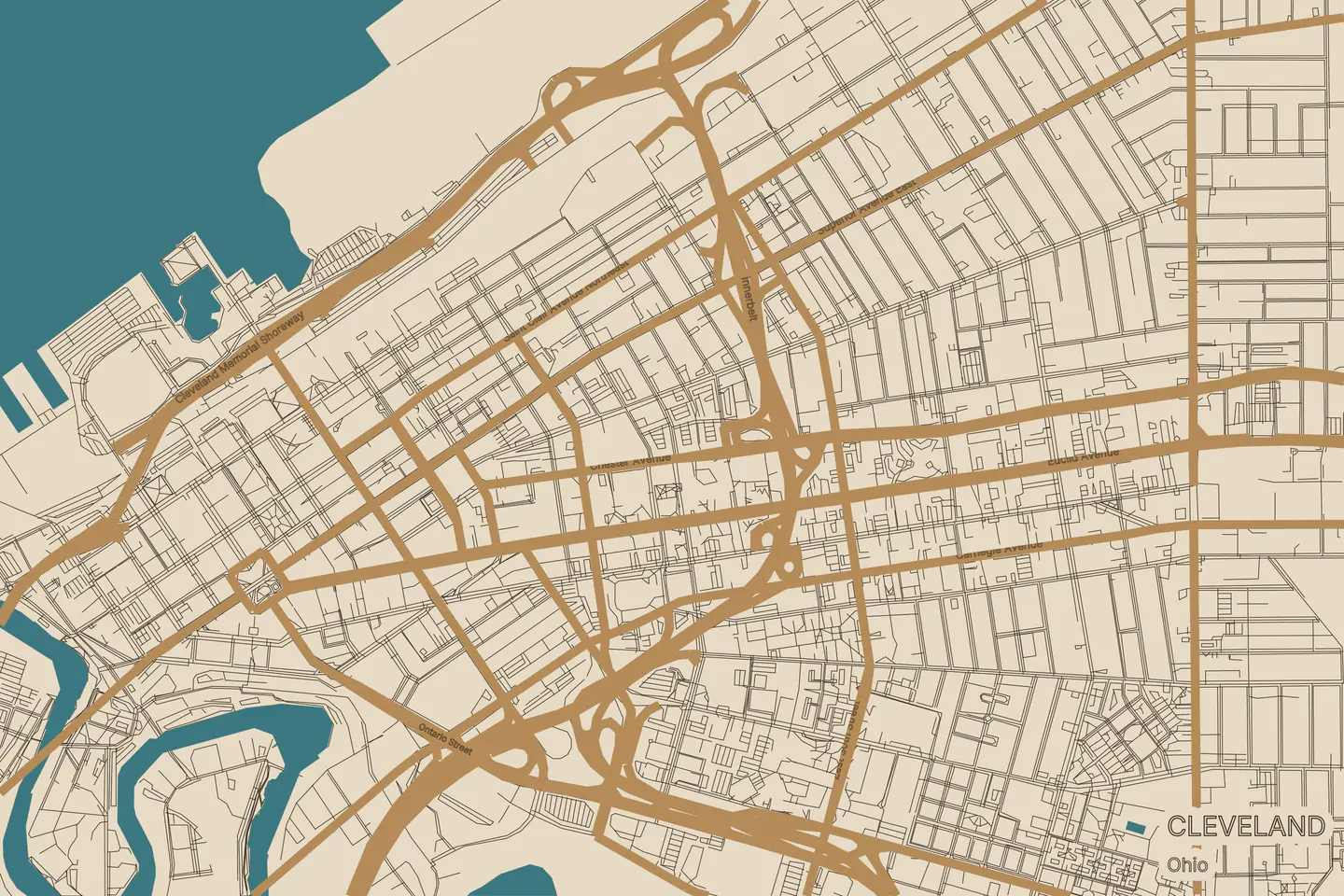
Finish images are simulations, not photographs. AI-assisted scenes illustrate possible materials and colors; fine details may differ from the files. The exact map views are rendered from the original vectors. Water steps are decorative shoreline offsets, not measured depths. Tahoe’s separate label and accent options are available in its additional preview.
01 / MapToLaser Express
From a place you love
to a project you make.
Choose a location, find your style, and make the map your own. MTLE turns geographic data into organized files for laser cutting and engraving.
- Choose how it’s built.Engraved maps, layered water, raised streets, and shaped boundaries.
- Put your own mark on it.Adjust the size, detail, labels, frame, and engraving style.
- Take the whole project with you.Per-piece SVG and DXF, assembly guidance, and source credits in one download.
A place. A design. A project.
A simpler route to your map.
Start somewhere meaningful.
Search for a lake, town or coastline. Set the area and the finished size of your map.
Choose the look and layers.
Select a construction style, choose the details, and personalize the design. Review the preview as you go.
Download. Check. Make.
Export your files, review the production notes, and test your material before the full project.
02 / Lean Quote · In development
More making.
Less quote prep.
Built for small laser and fabrication shops. Lean Quote brings customer requests and drawing files into a quote draft based on your own materials, machines, and rates.
Your shop. Your numbers.
Development workflow. Public access is not yet available.
Your next project starts
with a place.
Register, sign in, then choose Open Designer.
Map data © OpenStreetMap contributors (ODbL). Lake data: HydroLAKES v1.0 / HydroSHEDS (CC BY 4.0). Geographic data is clipped and simplified for fabrication. Full attribution is included in each export.